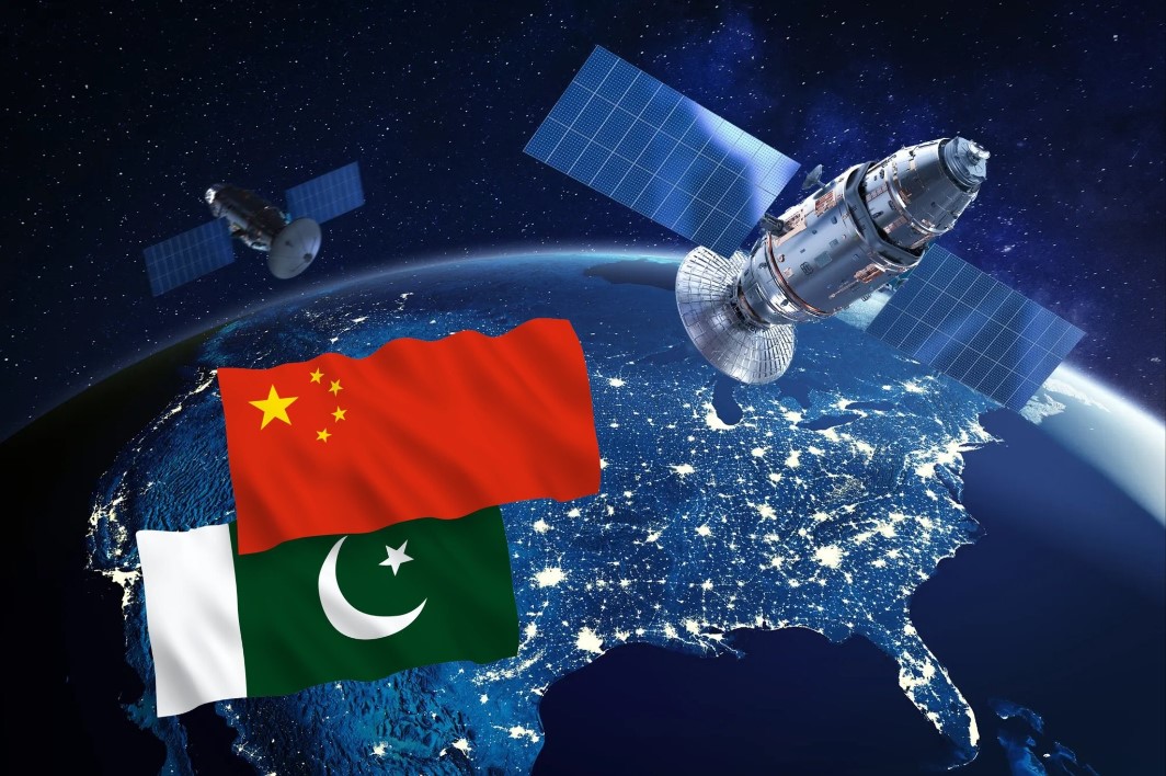
During the recent military tensions between India and Pakistan, a lesser-known but critical dimension unfolded beyond the borders and skies—in space. While China's military support to Pakistan with equipment and technology was no surprise, it was the use of Chinese military satellites for real-time Intelligence, Surveillance, and Reconnaissance (ISR) that deeply concerned Indian defense planners. This satellite-powered assistance allegedly allowed Pakistan to identify Indian positions and even contributed to the alleged downing of Indian fighter jets.
China’s Silent Eye in the Sky
China currently has over 5,300 satellites, out of which a significant number are military or dual-use. Most of these include the Yaogan series—a fleet of powerful reconnaissance satellites designed for optical imaging, radar tracking, and signals intelligence. One such satellite, Yaogan-41, launched in December 2023 into geostationary orbit, offers continuous surveillance over the Indo-Pacific, including India, Taiwan, and beyond. Although officially described as a civilian earth-observing satellite, Western analysts believe it has high-resolution capabilities enabling it to track even small vehicles across wide areas.
These satellites form part of China’s complex and layered space surveillance network, comprising low-earth orbit (LEO) satellites for high-resolution imaging and geostationary (GEO) satellites for continuous monitoring. China’s LEO satellites quickly orbit the earth, capturing sharp images, while the GEO satellites remain fixed on regions of strategic interest, such as India, offering uninterrupted data flow.
According to experts, China operates 30 to 40 reconnaissance satellites, and possibly more, as many are kept confidential. The Yaogan satellites are believed to support the People’s Liberation Army Rocket Force by offering targeting data for ballistic and cruise missiles.
Pakistan’s Advantage, India’s Setback
During the India-Pakistan standoff, Pakistan reportedly utilized Chinese ISR support to establish a near-real-time “kill chain” by tracking Indian positions and air assets. Despite this advantage, the satellites failed to detect India’s high-value S-400 air defense systems, thanks to their stealthy deployment and mobile configurations.
While China offered this strategic edge to Pakistan, India struggled with a significant satellite gap. New Delhi has around 218 satellites, of which only a fraction are military-grade. This disparity made Indian forces heavily dependent on mobilizing all available civilian and military space assets during the conflict.
One major setback was the failure to correctly position the NVS-02 navigation satellite, launched on January 29, 2025. Intended to strengthen the NavIC (Navigation with Indian Constellation) system, the onboard thruster failure meant a missed opportunity to improve India’s regional positioning accuracy—vital during military operations.
India’s Awakening in Space Warfare
India first realized the significance of space in military operations during the 1999 Kargil War, when the denial of U.S. GPS support hampered movement and targeting. But the real institutional push came only after 2019, with the establishment of the Defence Space Agency—a precursor to India’s Space Command.
Now, India aims to build a constellation of 52 military satellites within five years and expand that to over 100 in the next 7–8 years, including small, agile platforms. The Indian Air Force is upgrading its Integrated Air Command and Control System (IACCS) into the Integrated Air and Space Command and Control System (IASCCS) to integrate these new capabilities.
ISRO and DRDO have already launched EMISAT, India’s first dedicated electronic intelligence satellite, and the Kautilya satellite, which detects and geolocates enemy radars by sensing their electromagnetic emissions. These satellites, launched into orbits as high as 749 km, have given India the ability to monitor Chinese positions in Tibet and elsewhere.
India is also enhancing its radar imaging satellite fleet. The RISAT series—especially RISAT-2B and RISAT-2BR1—offers very high-resolution radar imagery, essential for spotting enemy movements and infiltrations. These satellites can see through clouds and at night, giving India crucial all-weather surveillance capabilities.
India Brings in Private Players
In 2024, India enlisted private industry to develop military-grade reconnaissance satellites. The first, built by Tata Advanced Systems, was launched in April 2024. These new satellites, operating from 500 km altitude, are expected to provide near-real-time battlefield intelligence.
This shift reduces India’s dependence on U.S. commercial vendors for satellite imagery and helps shorten decision loops during conflict. Ground control stations in Bengaluru will handle the imaging data, marking India’s move toward self-reliant and responsive space-based military operations.
The Beidou vs. NavIC Divide
China’s Beidou-3 Navigation Satellite System, completed in 2020 with 35 satellites, plays a dual role—serving civilians and bolstering PLA’s strategic autonomy from the U.S. GPS. It provides China with global targeting capabilities for its missiles and aircraft.
India’s NavIC, though operational regionally, is still catching up. The recent NVS-02 failure underscores the need for reliability in satellite deployment. However, the government has resolved to reduce launch windows and improve satellite readiness, aiming to bulletproof India’s defense systems.
The Future: AI-Driven Space Surveillance
India’s strategic thinkers are now calling for AI-powered satellites that can quickly analyze incoming data and alert analysts to threats without delay. This automation will allow India to match or outpace adversaries like China, especially during short-notice conflicts.
Experts like Col. Vinayak Bhatt emphasize the importance of higher temporal resolution (frequent imaging) and more data-downloading stations to keep India ahead in the game.
——— End of Article ———