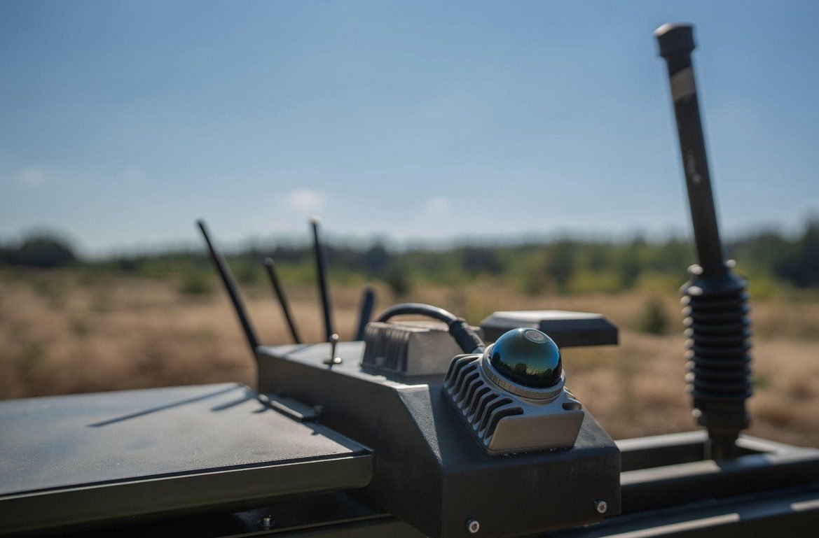
Kyiv, Ukraine — Ukrainian-Estonian defense technology company Farsight Vision has unveiled a new navigation module for unmanned ground vehicles (UGVs) designed to operate when GPS signals are unavailable or disrupted. The company shared details of the system with Militarnyi on October 5.
The module uses an onboard laser to create a real-time point cloud of the surrounding terrain. This data is continuously compared with a pre-built 3D digital model created through Farsight Vision’s FSV Platform. If the GPS signal is lost, the system uses the comparison to determine the UGV’s position.
The laser also provides information on terrain features such as pits, slopes and other obstacles. Through the FSV App, the operator at a ground station can view the vehicle’s route in 3D instead of relying only on a flat, static map. Control of the UGV remains with the operator.
Farsight Vision CEO and co-founder Viktoriia Yaremchuk said the system is intended to reduce the need to launch a separate reconnaissance drone to escort and guide a UGV, allowing such drones to be used for other missions.
Autonomous Return
Farsight Vision plans to add an autonomous return capability by the end of 2026. If a UGV loses its communication link, the software is planned to allow it to return to the point where communication was lost or to a base several kilometres away.
The company aims to eventually extend this autonomous return range to 30–40 kilometres (19–25 miles). The same core technology stack is already used with the company’s Mara and Besomar reconnaissance photo-drones.
Farsight Vision was founded in 2023 by Yaremchuk and Volodymyr Nepiuk. The company develops AI-driven mapping, geospatial analysis and 3D terrain-modelling technologies. Its solutions have been used by Ukraine’s security and defense forces since 2024. In May 2025, the company demonstrated related 2D and 3D terrain-modelling tools for route planning in areas without reliable satellite navigation.
——— End of Article ———