WASHINGTON — The U.S. Defense Innovation Unit (DIU) and Honeywell Aerospace have completed a flight test of a magnetic navigation system designed to provide aircraft with positioning information without relying on GPS.
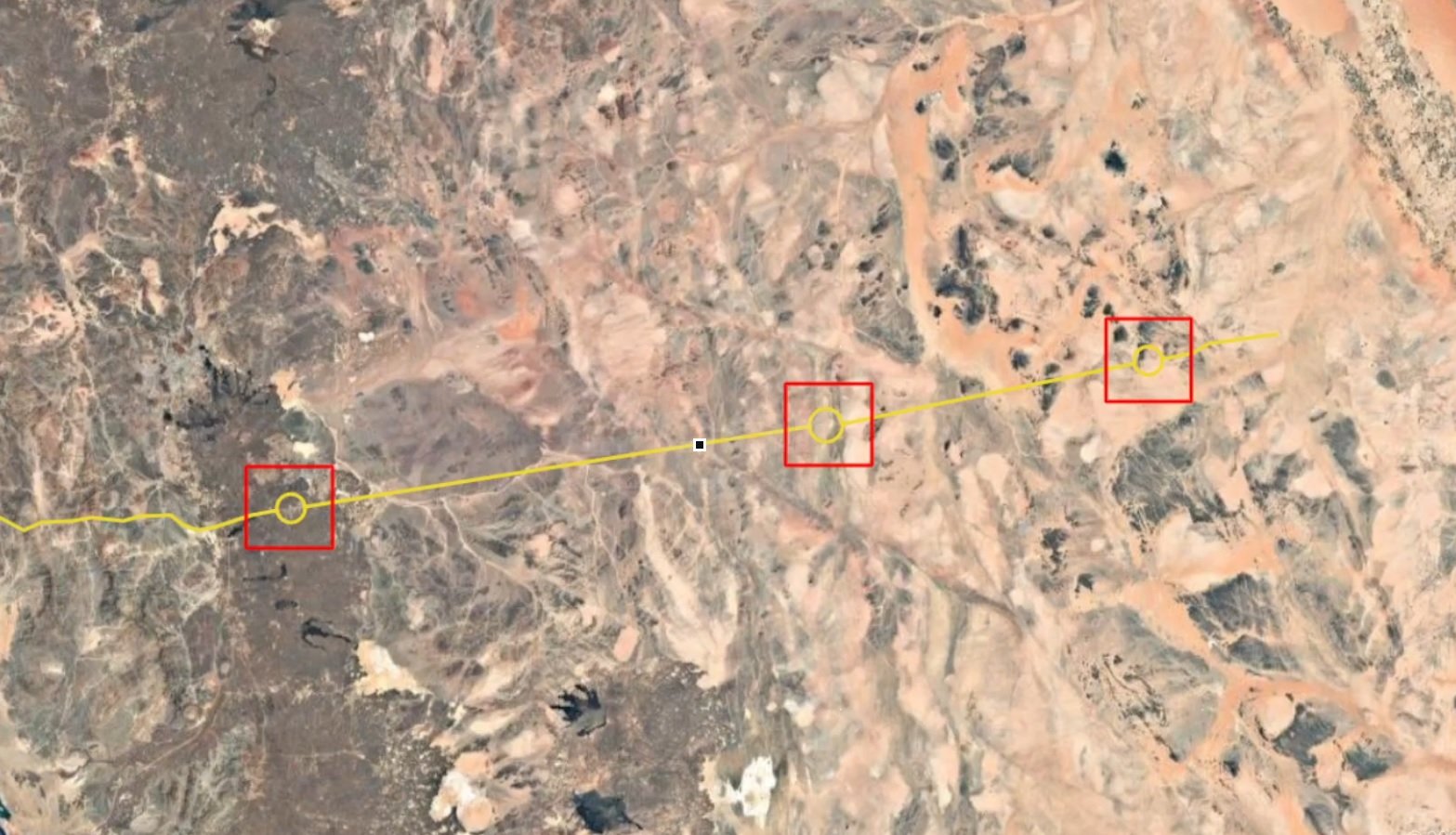
The test involved an Embraer 170 aircraft flying a round-trip route from the Seattle-area Puget Sound toward southern Alaska and back across the Pacific Ocean. According to a DIU announcement dated September 4, the aircraft operated without GPS for 4 hours and 23 minutes.
The system, known as MagNav, uses quantum sensors to detect small variations in Earth's magnetic field. These variations are associated with geological structures in Earth's crust and can form location-specific magnetic patterns. The system compares measurements collected during flight with magnetic maps to determine the aircraft's position.
DIU said the system improved position accuracy by 89 percent compared with traditional backup navigation methods, including radar mapping and visual references. Navigation information was provided to the pilots in real time on standard tablets, without requiring major changes to the aircraft's cockpit instruments.
Honeywell confirmed that the flights were conducted during the week of June 22. Testing over the Pacific was significant because magnetic signals over ocean areas can be weaker and available magnetic maps can contain less detailed information than those covering land.
The technology is intended to provide an alternative source of positioning when satellite navigation is unavailable or disrupted. Unlike satellite-based navigation, MagNav uses measurements of the Earth's natural magnetic field rather than relying on an external navigation signal.
From Quantum Research to Flight Testing
The MagNav effort developed from DIU's Transition of Quantum Sensing (TQS) program, which began in 2024. DIU's program is intended to move quantum-sensing technologies from development toward operational applications, including positioning, navigation and timing.
According to the information released for the MagNav effort, 72 companies responded to the commercial solutions opening, with Honeywell Aerospace selected to develop the prototype.
Honeywell contributed navigation algorithms, signal-processing techniques designed to reduce magnetic interference produced by the aircraft, and high-accuracy magnetic mapping.
The Pacific flight follows earlier work aimed at demonstrating quantum sensing in operationally relevant environments. DIU has described magnetic navigation as one of the field-testing areas under its broader quantum-sensing effort.
Further Military Testing Planned
DIU and Honeywell plan additional tests later this year, including testing the system on a U.S. military C-17 Globemaster III cargo aircraft.
The move to a military aircraft will provide another opportunity to evaluate the technology on a larger operational platform and under different conditions.
DIU also launched Project Farseer in June 2026, with the stated aim of accelerating the transition of mature quantum-sensing and timing technologies into operational use with the Joint Force. The initiative includes technologies such as magnetometers, gravimeters and tactical clocks and is focused on dual-use commercial capabilities that can support missions in contested environments.
The latest Pacific flight represents another step in DIU's effort to develop navigation technologies that can continue providing position information when GPS is unavailable or affected by interference. Further testing on military platforms is expected to continue through the remainder of the year.
——— End of Article ———