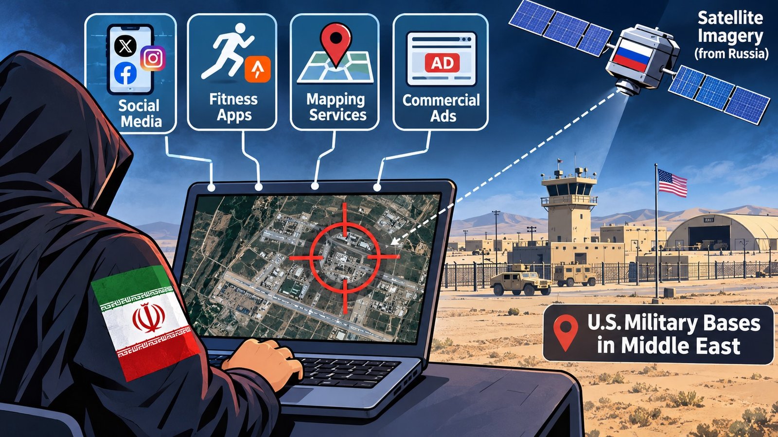
Middle East — Iran reportedly used social media posts, fitness apps, commercial advertisements, online mapping services and satellite imagery believed to have come from Russia to gather intelligence on U.S. military bases across the Middle East, according to a Los Angeles Times report citing security experts and U.S. military personnel.
During the first six months of the conflict, which began in late February 2026, Iran struck 26 U.S. military sites and hotels where American personnel had been evacuated. Iranian specialists reportedly combined publicly available digital information with satellite imagery to identify troop concentrations, daily routines and military facilities.
Fitness Apps Exposed Military Movements
The fitness application Strava became an important source of location information. An August 2026 Sky News investigation identified more than 1,300 users sharing workout routes and timings from or near U.S. military bases in the Middle East. Many accounts used real names, exposing movement patterns and frequently visited locations.
At Muwaffaq Salti Air Base in Jordan, publicly shared running routes revealed activity around barracks that were later struck on July 17, killing three U.S. soldiers. Similar location data was identified around bases in Bahrain and Kuwait.
Google Maps and other mapping platforms also exposed facility names, accommodation areas, headquarters, gyms and fuel points at installations including Camp Buehring, Camp Arifjan, Muwaffaq Salti and Al Udeid Air Base. Public photographs and videos, including some shared by the U.S. military, provided additional information.
U.S. Military Responds to Data Security Risks
In April 2026, U.S. Central Command (CENTCOM) acknowledged reports that adversaries were using commercially available geolocation data to track or target American personnel. Some units subsequently required troops in high-risk locations to surrender personal devices for locked storage.
Following congressional pressure, several military branches disabled mobile advertising identifiers on government-issued devices. The U.S. Navy also advised sailors to limit social media activity and disable unnecessary camera and location permissions. The acting Secretary of the Navy urged personnel and their families to strengthen their online privacy settings.
The attacks reportedly killed more than a dozen U.S. service members, wounded hundreds and caused billions of dollars in damage to infrastructure and equipment, despite high interception rates.
A Security Problem Dating Back to 2018
The risks of fitness tracking apps were highlighted in 2018 when Strava's Global Heat Map exposed the locations and activity patterns of military installations in Iraq and Syria. The Pentagon responded with restrictions on location-sharing features and instructions to review privacy settings.
However, the 2026 conflict has again demonstrated how publicly available digital information and commercial location data can expose military personnel and facilities. Combined with satellite imagery, these sources can help adversaries identify troop movements and operational patterns without accessing classified military networks.
——— End of Article ———