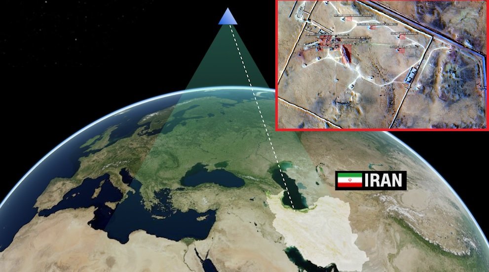
WASHINGTON — Chinese satellite imagery and geospatial data have helped Iran improve its ability to target U.S. military bases and ships in the Middle East, according to recent U.S. intelligence assessments described by officials familiar with the findings.
The intelligence support has been linked to Iran’s improved targeting accuracy in recent months, including a July 17 ballistic missile attack on Muwaffaq Salti Air Base in northeastern Jordan that killed three U.S. service members and wounded four others.
Satellite imagery linked to Jordan strike
Four sources familiar with the U.S. assessments told CNN that high-resolution satellite imagery obtained by Iran from Chinese entities before and after the attack helped Iranian forces target the Jordanian base with a level of accuracy that U.S. officials believe was greater than Iran’s previous capability.
The missiles struck a housing area where U.S. troops were sleeping.
The three service members killed were Army Sgt. Angel S. Rampersad, 28, of Ozone Park, New York; First Lt. Tyler James Feehan, 25, of Ewa Beach, Hawaii; and Pvt. Isabella Gonzales, 19, of Carrollton, Texas. Four other service members were wounded and medically evacuated.
Iran later released high-resolution images showing damage at the base. Publicly available commercial satellite imagery also showed damage to more than 20 structures across three areas of the facility.
Muwaffaq Salti is an important U.S. military location in the region, hosting a range of aircraft and supporting U.S. operations in the Middle East. CNN reporting from July also described the base as a major regional hub for U.S. military operations.
Data also used to track ships
U.S. officials said Chinese geospatial information has also improved Iran’s ability to monitor ships operating around the Strait of Hormuz.
According to officials familiar with the assessments, the information provides Iranian forces with a better picture of U.S. escort operations and helps them determine when vessels reach particular positions in the waterway.
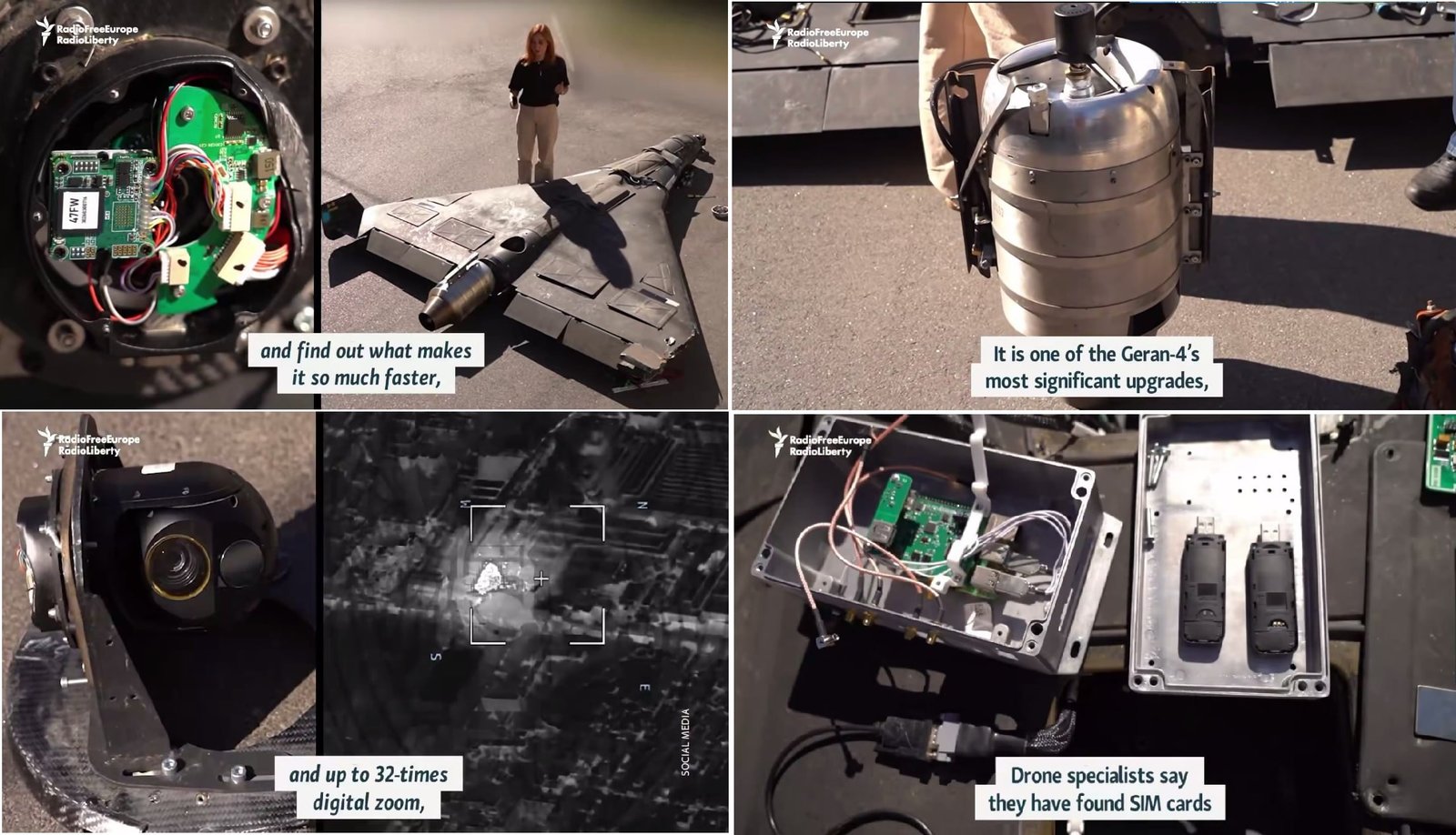
One tactic involves launching relatively unsophisticated heat-seeking drones at selected points along shipping routes. The drones cannot be guided after launch, but more accurate information about the location and movement of ships can improve the timing of an attack.
During one U.S. escort operation, American forces were reported to have intercepted more than a dozen Iranian missiles and nearly 20 drones while dealing with roughly 60 targets around the strait.
The Strait of Hormuz remains a strategically important waterway for regional maritime traffic, and the U.S. Treasury has separately taken action against Iranian networks connected to activities involving vessels transiting the strait.
Chinese and Russian assistance
The satellite information is described as only one part of Iran’s improving military capabilities. U.S. officials have also pointed to technical assistance from China and Russia that has helped Iran improve guidance systems for existing missiles and drones.
Iran's own combat experience has also contributed to changes in its targeting capabilities, according to the assessments.
The exact role of the Chinese government remains unclear. U.S. officials have not established whether Beijing directly authorized the transfer of satellite information or whether Chinese private companies provided the imagery without direct government direction.
Chinese officials have rejected the allegations and have demanded evidence from Washington. Beijing has said its commercial cooperation with Iran complies with international law.
U.S. sanctions Chinese satellite companies
The Trump administration has also taken action against Chinese entities accused of providing satellite imagery that could support Iran's military activities.
In May, the administration sanctioned MizarVision, Earth Eye and Chang Guang, according to the information provided by U.S. officials. Earlier U.S. actions have also targeted China- and Hong Kong-based entities connected to procurement networks supporting Iran's military programs. The U.S. Treasury has publicly confirmed sanctions against Chinese and Hong Kong-based networks involved in supporting Iran's weapons procurement.
Earlier reporting also indicated that Iran's Islamic Revolutionary Guard Corps Aerospace Force acquired a Chinese-built satellite known as TEE-01B from Earth Eye Co. in late 2024. The satellite was reportedly used to monitor U.S. military sites in the region.
U.S. bases face continuing attacks
The improved Iranian targeting comes as U.S. forces have faced repeated missile and drone attacks across the Middle East.
A Pentagon inspector general report cited in the assessments found that Iranian strikes had damaged or destroyed hundreds of structures at U.S. bases in Kuwait, Bahrain, Qatar, the United Arab Emirates, Saudi Arabia, Iraq, Oman and Jordan since the conflict escalated.
The attacks have forced U.S. Central Command to adjust the positioning of personnel and storage facilities in response to the continuing threat from drones and missiles.
The U.S. assessments therefore describe Iran's improved targeting as the result of several factors, including access to foreign satellite and technical assistance, battlefield experience and improvements to its existing missile and drone systems.
However, the extent of direct Chinese government involvement in providing satellite intelligence remains unresolved.
——— End of Article ———